Visualising & analysing ocean data
Visualising & analysing ocean data
Reef systems evolution with pyBadlands
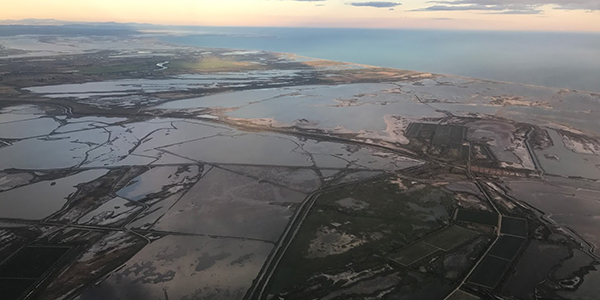
Rivers dynamic and sedimentary basins with pyBadlands
Linear model of wave dynamic with wavesed
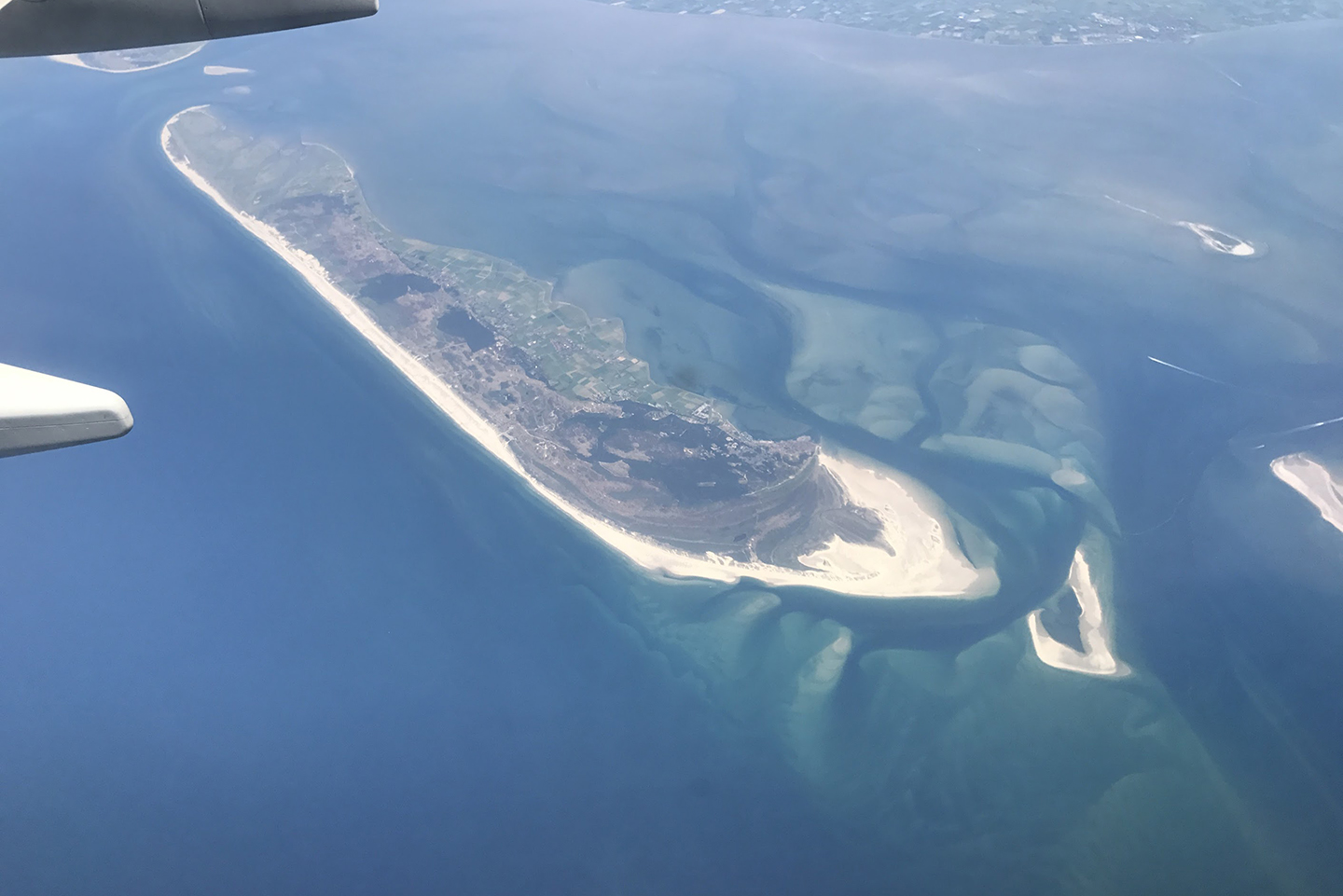
Landscape dynamics with pyBadlands
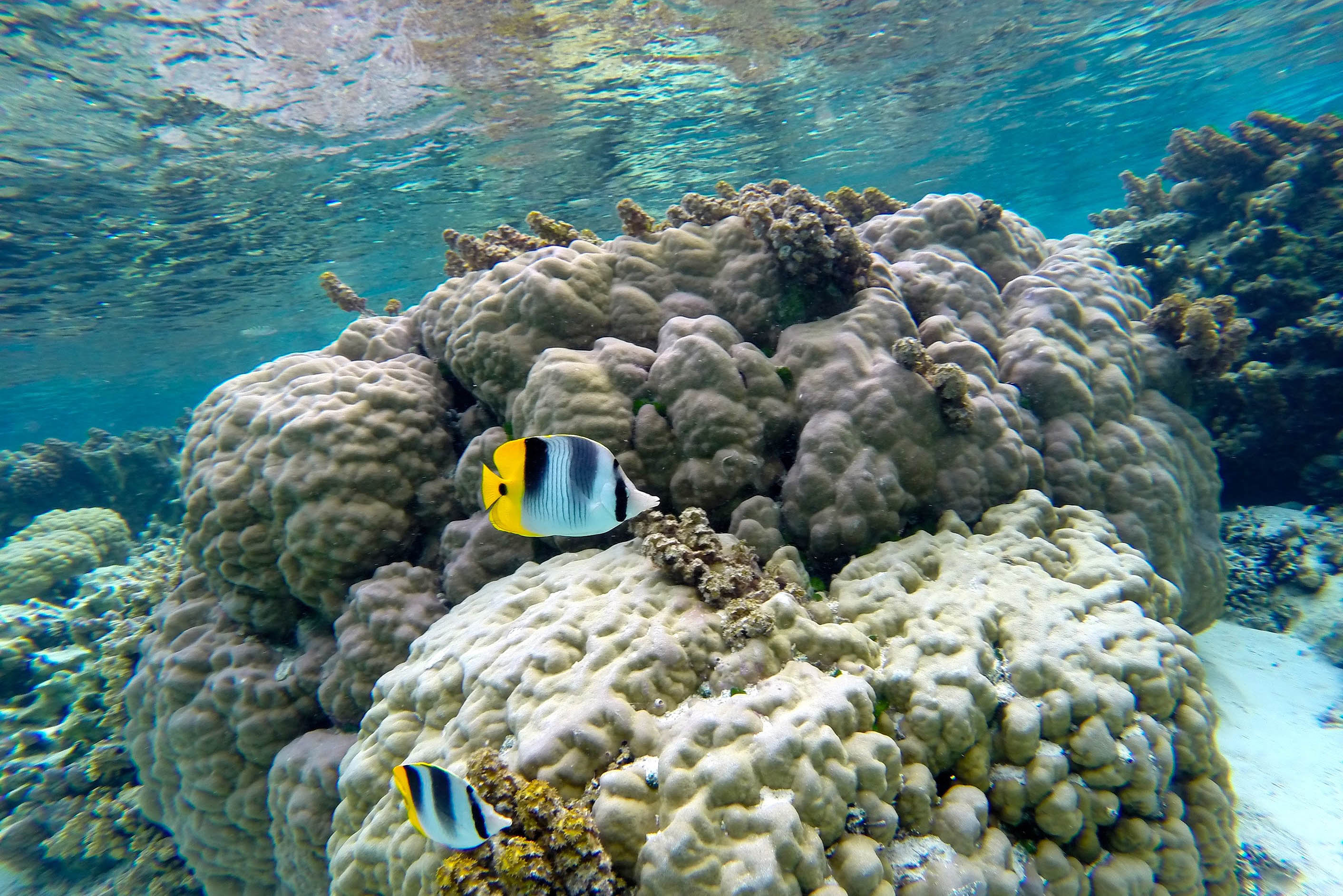
Modelling 1D reef sequences with pyReef-Core
Learning materials for Geosciences
Analyse & visualise ocean conditions
Access to quality data is essential to understand marine processes. Ocean Data portals are routinely used by Scientific organizations, Research agencies and the Industry to better understand the complexity of the Ocean and its interactions with Climate and Life. This module will give a quick introduction on accessing and analysing ocean data with python.
Facies - well analyses - backstripping
Sedimentary basins are regions where considerable thickness of sediments have accumulated. They are widespread both onshore and offshore. We will investigate how facies classification, wells analyses and decompaction techniques could be used to characterise their formation and evolution and infer from limited dataset their sedimentary characteristics.
Sequence stratigraphy & shoreline trajectories
Deltas result from interacting processes which modify and disperse fluvial clastic deposits. The complexity of environmental settings under which they form results in a variety of stratigraphic sequences. The aim of this module is to use pyBadlands to investigate sea-level and tectonic forcings on deltas evolution.
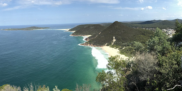
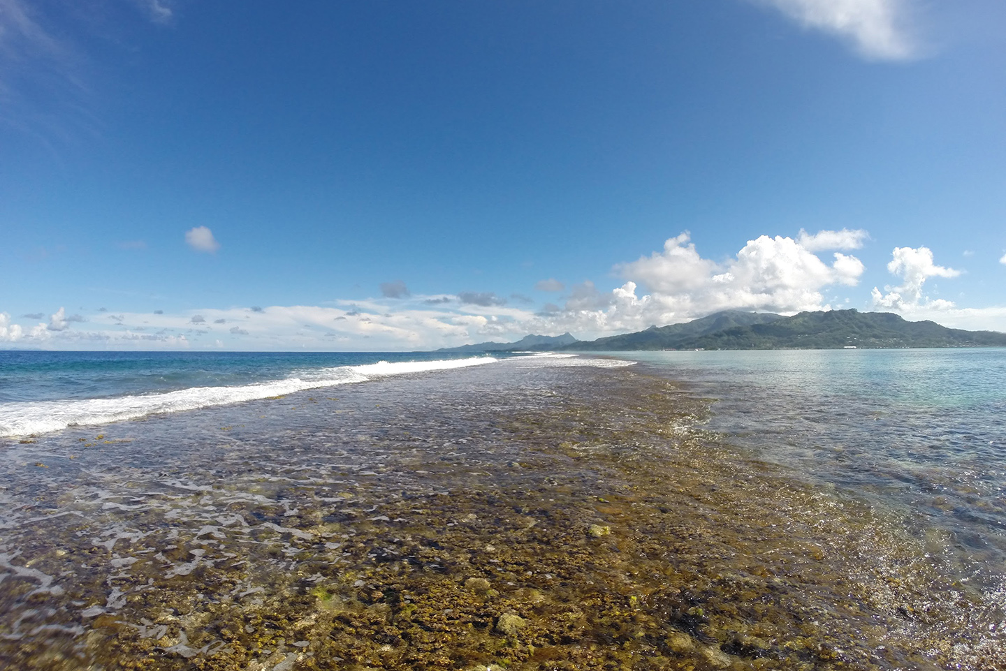
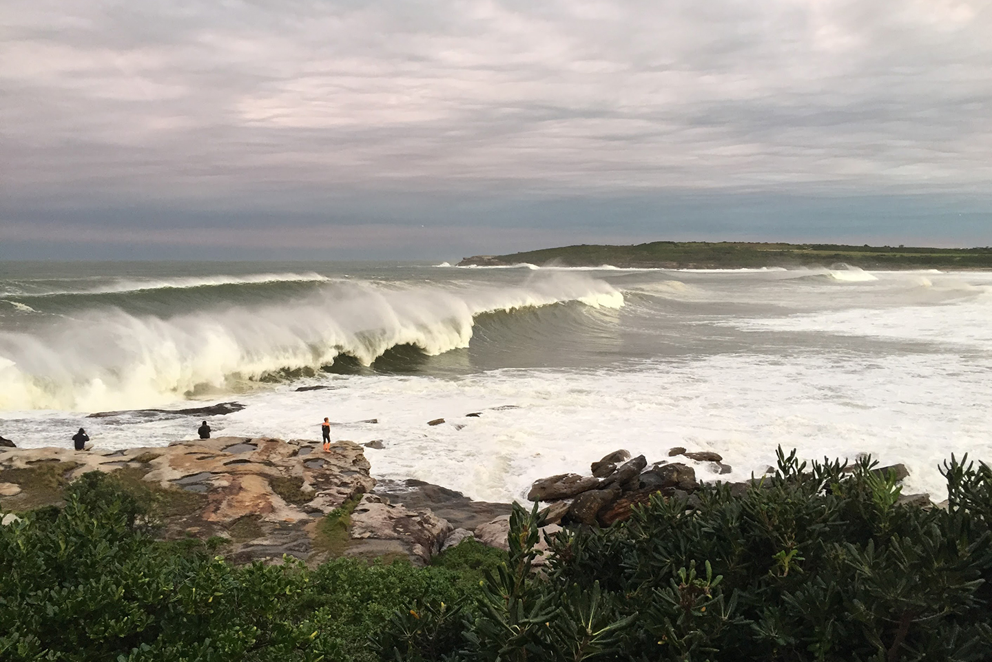
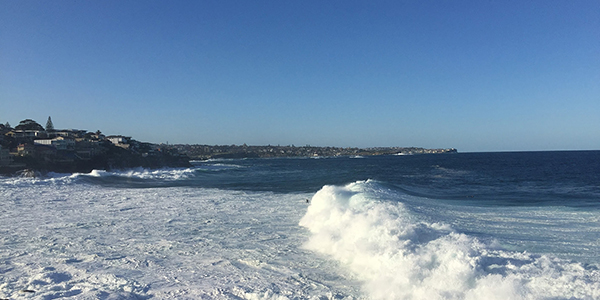
Sediment transport - Waves - Longshore drift
We will build upon the theories that were developed during the first parts of your UoS using simple numerical models. In particular we will look at medium to long-term coastal processes evolution. The aim is to gain some understanding on how to set up and use numerical models for coastal projects as well as elaborate on the differences between these models.
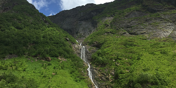
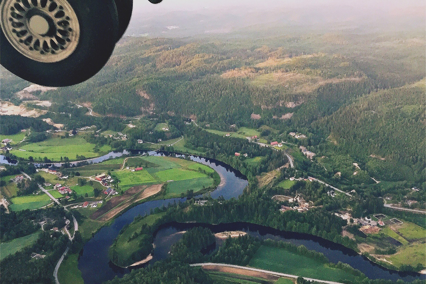
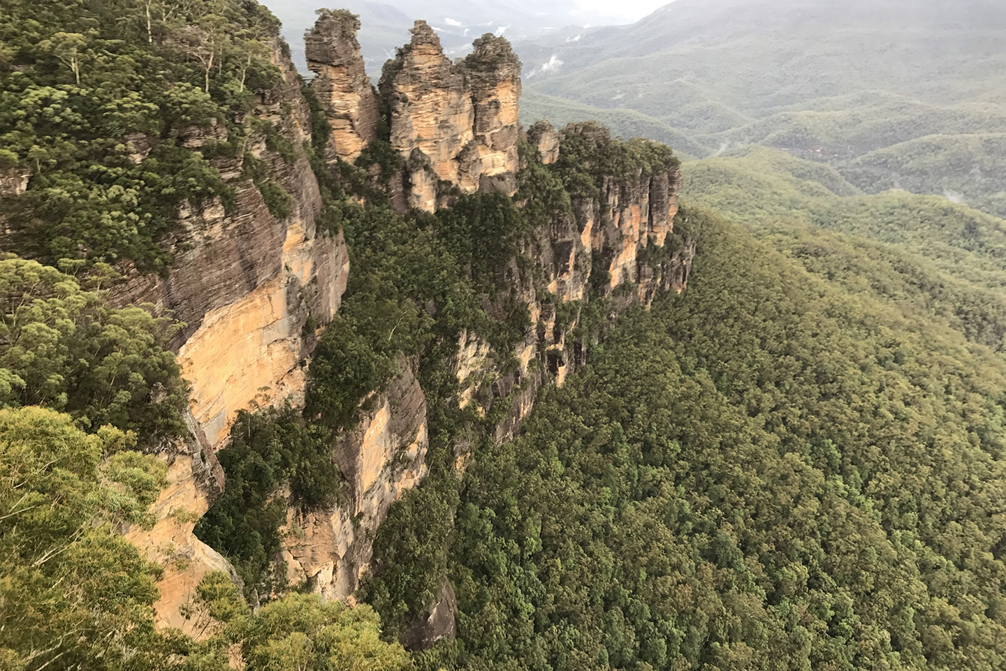
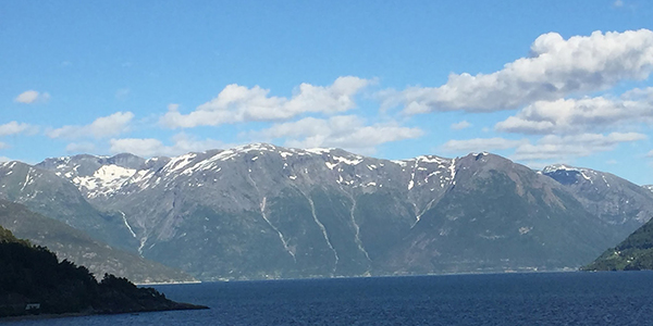
Quantitative approach to landscape dynamics
We will study the interplay between tectonic and surface processes and how it shapes the landscape in regions of active deformation and at geological time scales. Using pyBadlands, we will make quantitative assessments of the impact of tectonic and climatic forces on landscape and drainage evolution in mountaineous terrain.
Basin and Landscape Dynamics
This workshop aims to introduce those interested in landscape evolution and source to sink problems to the open-source code: pyBadlands. Note that you do not have to be a seasoned modeller to participate. Geomorphologists, tectonicists and sedimentologists interested in testing conceptual models based on field observations are welcome!
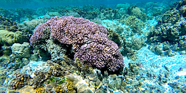
Vertical Coralgal Growth
Using pyReef-Core we will model the stratigraphic development of coral reefs in geologic time under environmental forcing conditions including accommodation, oceanic variability, sediment input and tectonics. The tool can quantitatively test carbonate platform evolution and efficiently interpret vertical growth and karstification patterns observed in drill cores.